
Tyler School of Art recently had a call for entries for a 30 second film festival (30 SFF), and I entered a fragmented sampling of map-walks across Brooklyn and Manhattan (including a piece over the Manhattan Bridge. The films were screened last night in Stella Elkins Tyler Gallery in Philadelphia. It was a truly helpful exercise in timing, rhythm and editing (a change from flipbook editing!). These 30 seconds are certainly more sketch than finished piece, but seeing it on a big screen allowed me to step back and evaluate what was and was not working, even down to the smallest details.
Philadelphia, although the fifth largest city in the country, has a decidedly different urban makeup and structure than New York. This may seem like I am stating the obvious, but I find it fascinating that something as simple as the kind and frequency of noises on the street, the sidewalk material, the pedestrian density noted through sound and speaking are all indicators of a certain urban personality. These small elements are a dirctly related part of the conversation surrounding architectural choices, urban planning, and transportation infrastructure within any given urban space.
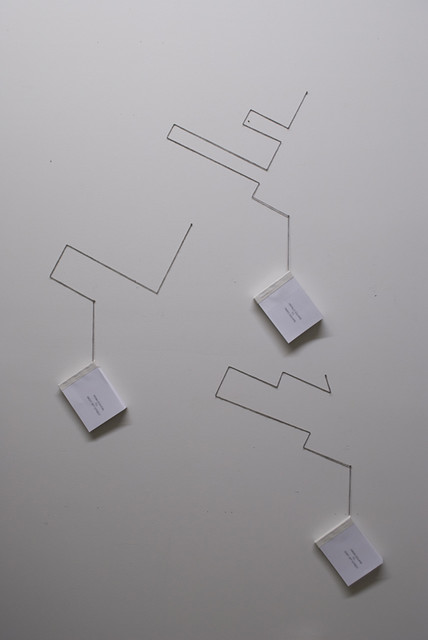
flipbooks corresponding to their walks- from top to bottom:
Times Square to Herald Square
Penn Station to West 23rd Street
Union Square to East 19th Street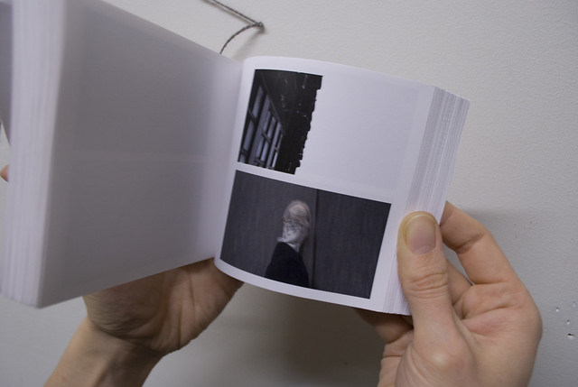
(flipbook showing the steps and accompanying sky)
No comments:
Post a Comment